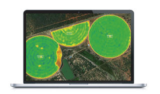
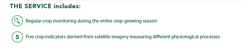
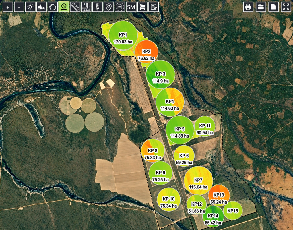
Through this service, near-real-time, in-season geospatial information on crop growth and development is displayed on MYFARMWEB™, enabling seamless integration, analysis, and interaction between satellite imagery and precision service data layers.
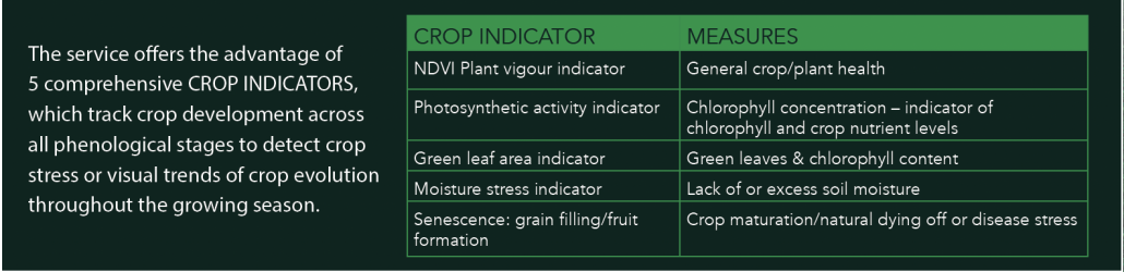
CROP INDICATORS
ADVANTAGES & FEATURES
– Satellite sensors can detect crop stress 7 to 10 days before the human eye
– Early detection of stressed crop locations using automated points to allocate scouting points
– Regular satellite image recordings at 10 m spatial resolution providing consistent trends
– Productivity zone maps (yield potential zones)
– Global scalable Cloud platform with automated processing and frequent updates
– Colour ramped fields to enhance visual patterns of in-field variability for each crop indicator
– Satellite imagery is fully inregrated into MyFarmWeb™
– A 12-month iFly™ subscription is included at no additional cost with all iTest™ Soil precision services rendered in that year
We use cookies on this website to make your experience better. By continuing to browse you agree to our use of cookies.
If you do not consent to the use of cookies, please alter your settings. To find out more please refer to our privacy policy and cookie policy pages. Cookie settingsI ACCEPT
Privacy & Cookies Policy
Privacy Overview
This website uses cookies to improve your experience while you navigate through the website. Out of these cookies, the cookies that are categorized as necessary are stored on your browser as they are essential for the working of basic functionalities of the website. We also use third-party cookies that help us analyze and understand how you use this website. These cookies will be stored in your browser only with your consent. You also have the option to opt-out of these cookies. But opting out of some of these cookies may have an effect on your browsing experience.
Necessary cookies are absolutely essential for the website to function properly. This category only includes cookies that ensures basic functionalities and security features of the website. These cookies do not store any personal information.
Any cookies that may not be particularly necessary for the website to function and is used specifically to collect user personal data via analytics, ads, other embedded contents are termed as non-necessary cookies. It is mandatory to procure user consent prior to running these cookies on your website.